Commuting
Slough is an ideal town for cycling – a compact urban area measuring just seven miles across and three miles north to south. Its flat terrain, together with a number of traffic-free routes makes riding your bike to work an excellent option.
Cycle Route Provision
National Cycle Route 61 uses the towpath of River Jubilee to provide a traffic-free route across the south of the town. The route crosses the M4 motorway and into the town at Upton Court Park. Indeed, the town’s parks also provide further traffic-free routes, with paths in Upton Court Park and Ditton Park. The Grand Union Canal towpath is a further traffic-free route to the north-east of the town centre.
In the town itself, there are a large number of roads with marked cycle paths or shared bus/cycle lanes. These, together with traffic calmed streets and cycle crossings are highlighted on the Slough Cycling Map.
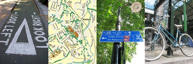
Cycle Parking
There’s secure, covered cycle parking at Slough railway station, with space for 36 cycles. Cycles can also be carried free of charge, subject to space, on local rail services. For national operators policies, please check here.
Cycle Shops
Stow’s on the High Street is the town’s main independent cycle shop, with Halfords on Bath Road to the east of the town.
Don’t leave home without...
Slough’s Cycle Map PDF, which details cycle-friendly routes, crossings, etc as well as routes to avoid.
Essential Links
Open Cycle Map – Slough
Slough Borough Council Cycling Pages